

 Contact us
 Visit CPRE.org
 Donate
Bedfordshire Hidden Gems
This feature celebrates the extraordinary ordinary; a selection of hidden gems across Bedfordshire.
In September we will be celebrating the extraordinary ordinary during Love Your Countryside Month. Acknowledging that our favourite countryside isn’t always the most well-known, we are looking at local gems across the county. It might be the place to walk the dog, the landscape that tells you you’re nearly home, or just somewhere to escape from the ‘everyday’.
Our Executive Committee have given us their ‘hidden gems’. Some places are better known than others, and some may have featured in our A-Z of Bedfordshire places. Understandably most include walks to appreciate our county’s countryside. Hopefully they offer some insights into places that we can call special in our area and inspire others to explore.
Holy Well, St Mary’s Church, Stevington
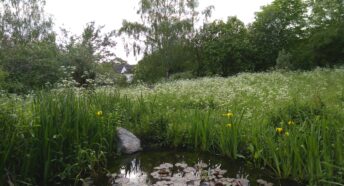
Hidden behind St Mary’s church in Stevington is the Holy Well. It is reputed never to freeze or run dry. The well is built into the church yard wall, in a small nature reserve where the rare butterbur plant thrives.
The church is well worth a visit with interesting features including carved figures on the bench ends. The village cross is thought to have been the inspiration for the location where the pilgrim, in John Bunyan’s Pilgrims Progress, felt God’s grace remove the burden of sin that he carried.
The well itself brings water from the limestone rock under the church and was historically believed to be beneficial. A community of nuns used the holy water from Stevington’s well to treat the sick in the 13th Century. It was particularly noted for curing eye infections.
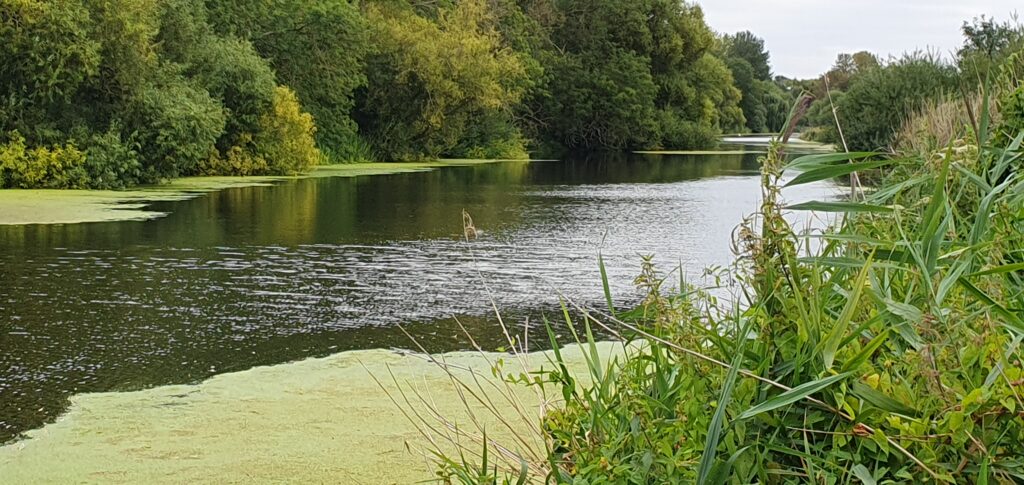
The water may not be used in the same way today, but the Grade II listed site is a good starting point for enjoying other watery views on a scenic riverside walk to Pavenham along the Ouse Valley Way.
Around Milton Bryan and Woburn Deer Park
Exploring the network for footpaths around Milton Bryan came about from visiting the Scout campsite – filling in time on scout evenings or planning a walk for Cubs.
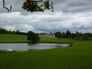
A favourite route, starting at Milton Bryan, goes across countryside and through Woburn Deer Park offering views of the Abbey. A lot of the paths join up in this area allowing options for longer walks and to explore further with circular walks.
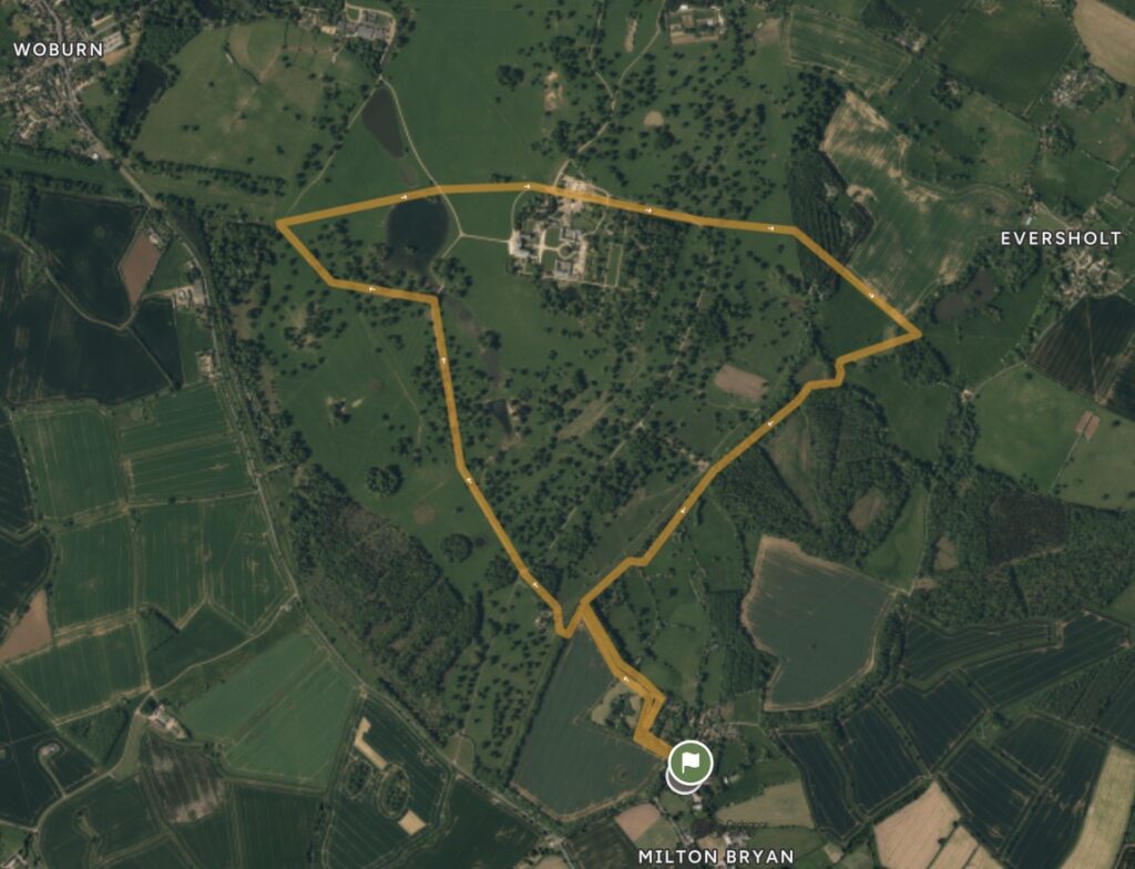
There are published maps for a longer walk starting at Woburn. With a network of paths, it is best to take an OS map. The two hour walk uses some of the route in the Walking Britain link. It cuts through the middle of the deer park on the Greensand Ridge Walk and then comes across the north of Milton Woods. It is a peaceful walk, close to nature and away from it all.
Walking Britain – Woburn Abbey, Eversholt & Milton Bryan Walk
Other walks in and around the deer park
Gibraltar Barn – Tempsford
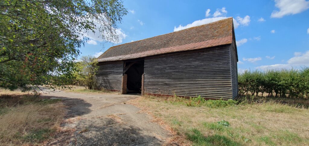
There is much history surrounding the WW2 operations out of Tempsford Airfield, but little is left of the site itself. As a Secret Service base, it was used to fly agents into occupied Europe to assist with resistance missions. The Secret Operations Executive (SOE) used Gibraltar Farm buildings, on the eastern perimeter of the airfield as high security SOE stores. The farmhouse itself operating as the agent reception and pre-flight preparation centre.
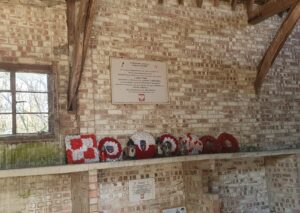
Gibraltar Barn is a memorial to the men and women who flew out on secret missions – part of the SOE. They would assemble here to receive uniforms, instructions, weapons, suicide pills and other items such as money and cigarettes for bargaining power on their missions. The barn is a privately owned building but accessible from the bridleway running up the Roman road near Everton and Tempsford. It houses some information and memorials to those who served and lost their lives. It is a place for reflection rather than a museum.
Find out more with a diary of operations from Tempsford on the Harrington Museum website.
Tempsford Museum, just up the road from the War Memorial in Tempsford, Church End, is open on the first Sunday of the month in the afternoon. It contains memorabilia, artefacts, photographs and documents associated with Tempsford and RAF Tempsford.
Information about Tempsford Musuem
Historic Walk around Turvey
A short circular walk around Abbey Farm takes in land listed in the Historic Environment Record as an undesignated historic parkland. Many parkland features have been lost to the needs of agricultural use, but near Turvey the medieval ridge and furrow can still be seen. Looking down from the higher ground above the farmland to Turvey Abbey it is possible to imagine a pastoral scene of bygone days.
The route is about 2.5 miles. From the east of the village centre, find Jacks Lane heading south from the Bedford Road. Use the North Bedfordshire Heritage Trail heading east along the stream edge, s short way out of the village. This path can be used to circle around the back of Abbey Farm. After walking through the plantation, leave the Heritage Trail and take the path to come around Abbey Farm and northwest, back into Turvey, re-joining Jacks Lane.
Turvey History Society have produced a booklet showing the walk illustrated with notes on historic points of interest in Turvey – mainly the listed buildings on the High Street. It is available from the Central Stores in Turvey for £3.50.
Celebrating Chalk streams
Bedfordshire has several chalk streams due to the county sitting on the chalk aquifer. The springs at Barton Hills permeate out of the base of the hills and the River Ivel meanders across Bedfordshire to join the River Great Ouse. Chalk streams are precious waterways and provide rare habitats, often under threat from poor water management.
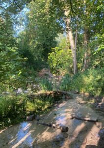
The Riddy Nature Reserve at Sandy is a good spot that features one of Bedfordshire’s chalk streams, the River Ivel. Walking into Sandy from the railway station you can pick up the Greensand Ridge Walk west to reach The Riddy. Use the network of paths to wander around the reserve and explore the wetland area. The path south along the river, part of the longer Kingfisher Way, comes out on New Road, providing a circular route back to the railway station and town centre.
Find out about the Kingfisher Way along the River Ivel.
Roaming Rowney Warren
Rowney Warren woods is a Forestry Commission woodland with a network of paths, lovely views and a smell of onions at some times of the year due to local farming! There is a perimeter path that will take about an hour to walk or the woods can be explored by just roaming along the many paths. The woodland isn’t big enough to get lost, just watch for the mountain bike cycle routes to the north of the woods.
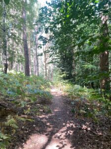
There is free parking along Sandy Lane, off the A600, about halfway between Chicksands and Deadman’s Cross, Bedfordshire.
Your Own Hidden Gem
Do you have a Hidden Gem that you’d like to share with us? Send a brief description, including why it is important to you, to info@cprebeds.org.uk.
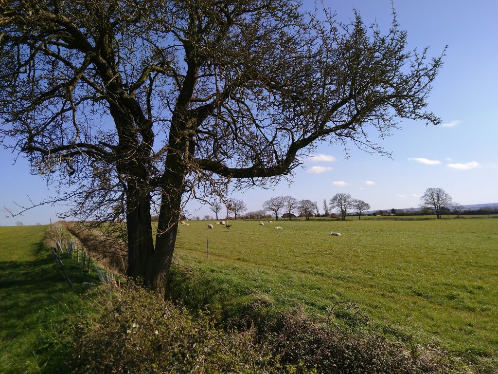
If you’d like to explore more, take a look at the A-Z of Bedfordshire Places in our Days Out section of our website to find other places to explore.
CPRE Bedfordshire Days Out Features
The Walking Britain website is a good starting point for finding walks in a particular area. Most are circular and using at the Route Map option will display an Ordnance Survey map of the route. There are also route descriptions using the Printer Friendly Page option.