

The A6-M1 Link Road – Exploring the Route
The proposed A6-M1 Link Road will cut through the Chilterns AONB – we take a look at the route.
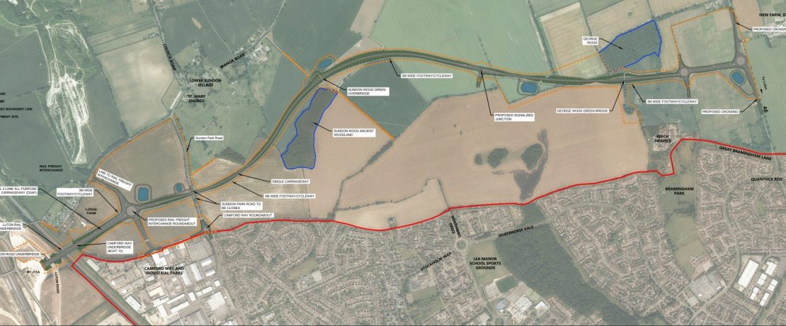
The aerial photograph above shows the area that will be affected.
You can also download a more detailed map: A6-M1 map
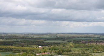
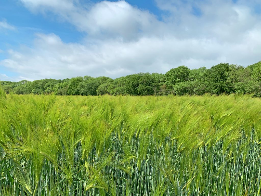
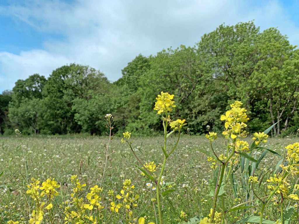
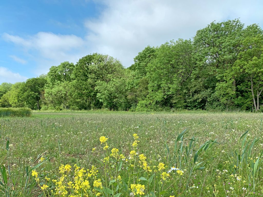
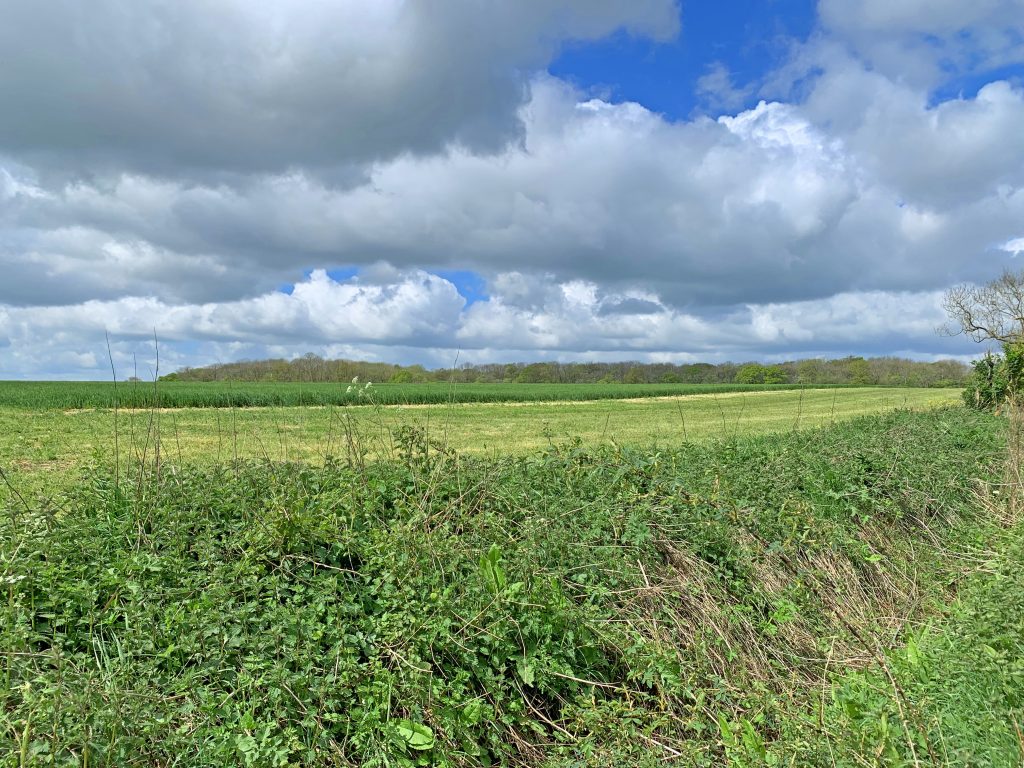
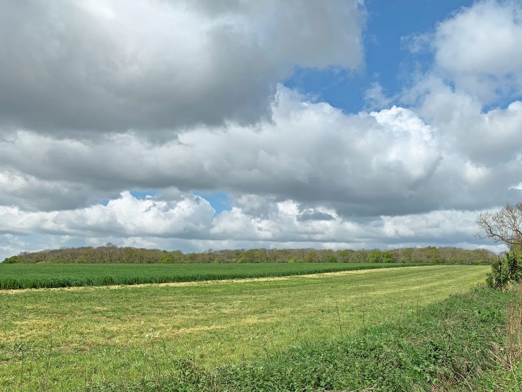
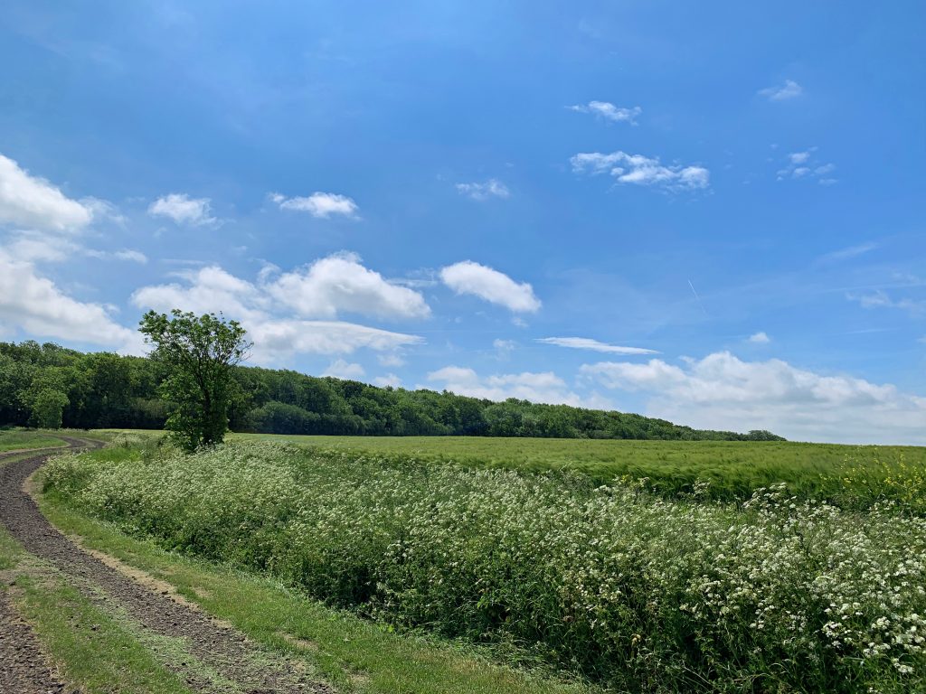
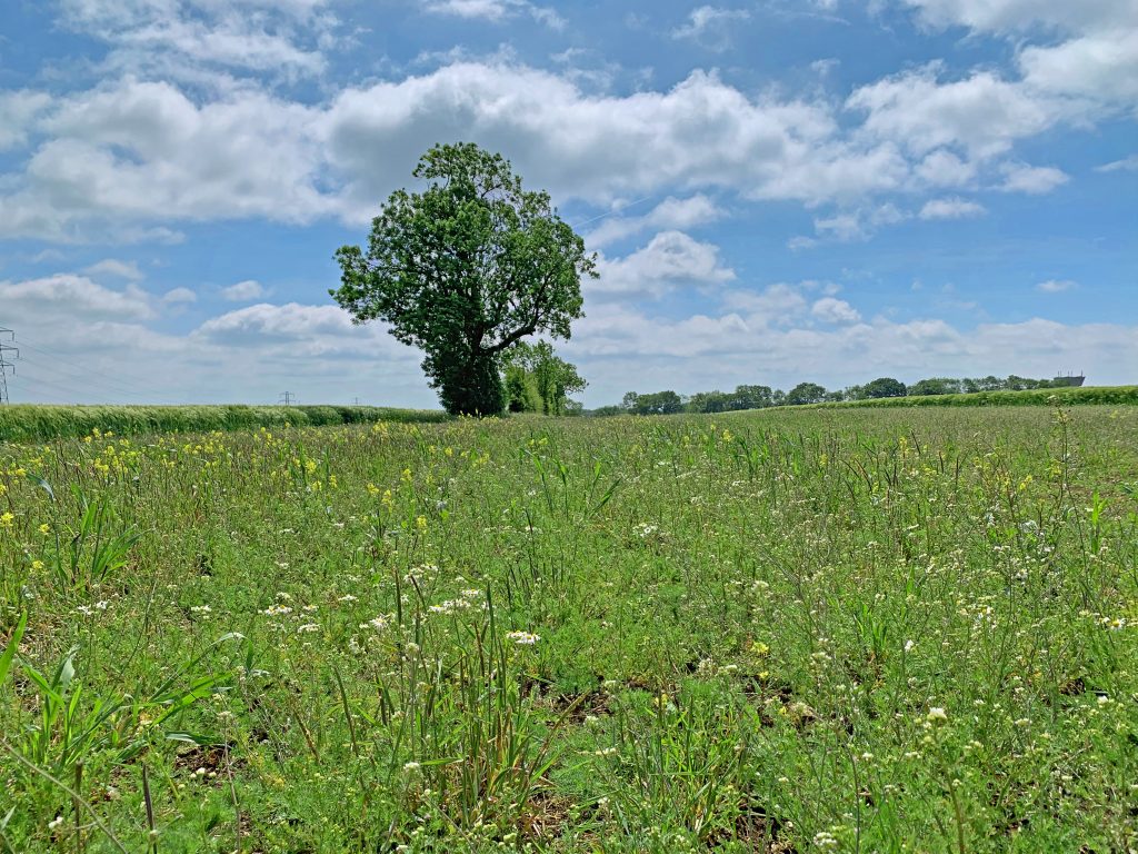
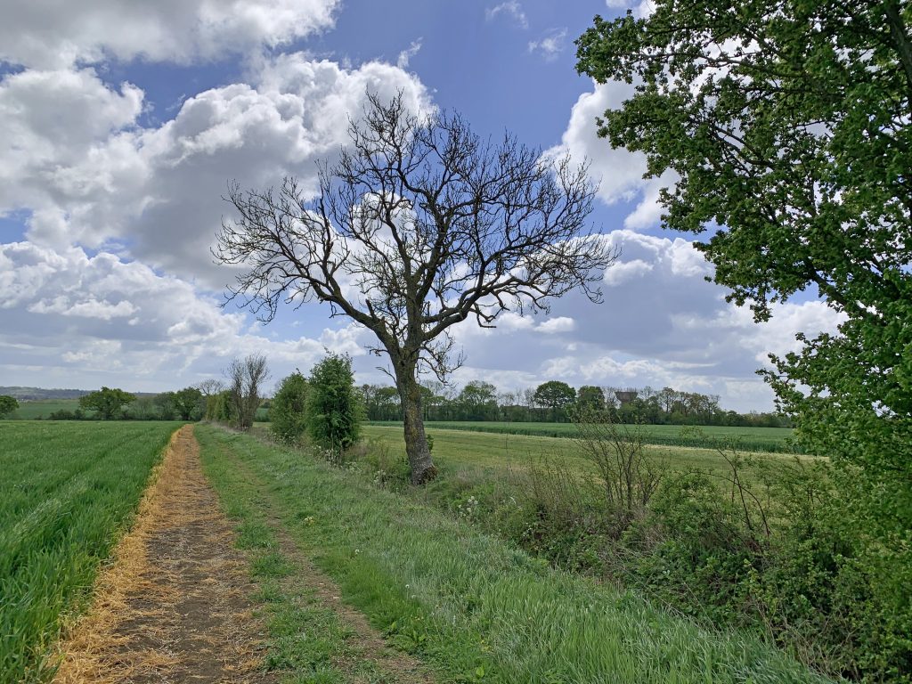
Explore the route further through this set of photographs which were all taken by Keith Brown.
Join the campaign here.

Join the campaign here.
Find out more about the environmental issues and likely impacts of the road here.