

Discover: Flitwick to Steppingley
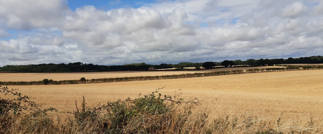
This three mile walk from Flitwick to Steppingley takes in stunning views of local countryside.
It’s a mostly flat walk with some short hills. Underfoot is dry sandy soil.
The walk
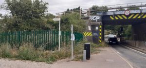
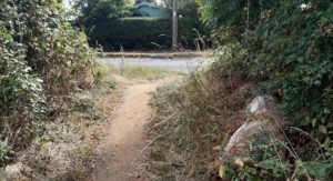
Starts in Froghall Road/ Churchill Drive junction, Flitwick near the Railway Bridge.
Follow the path with railway line to your right side. Turn left at the first junction. The recently planted woodland is on your right and you can see far reaching views to Steppingley ahead.
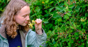
Follow this path to the end and round to the right, maybe take a seat on the bench and listen to the birds or count the line of old oak trees along the path.
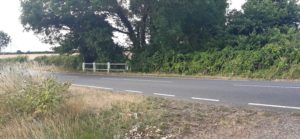
At the end of the path, turn left and keep walking until you reach the road (Fordfield Road). CAUTION! Watch out for fast traffic!
Cross the road and to the left of the white railing is an opening and path across a small wooden bridge.
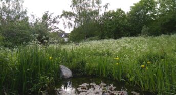
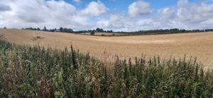
Take the track towards the reservoir and then bear left up the path along the edge of the field.
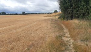
Keep walking – this is uphill in some parts, and follow the path into the next field, over a small wooden bridge. Take time to enjoy the stunning views!
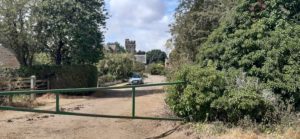
At the top of the hill, left and follow the path along the edge of the field. OR Turn right and stop to admire Steppingley Church. Built of local red brown sandstone it is good example of the Early Decorated and Perpendicular styles of 14th Century architecture.
Continue on until you come to an opening in the hedge where the path exits the field on to Flitwick Road, Steppingley.
CAUTION! Cross the road and turn right towards Steppingley. Turn left up the track towards Flitwick Woods (slightly uphill). This is part of the John Bunyan Trail.
At the top of the hill turn left and follow the track down to Steppingley Road Flitwick. Flitwick Woods is on the right across the field and worth a visit if you have time.
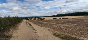
The lower field is known locally as Steppingley Road Field and is the focus of a campaign by the Flitwick Local Action Group to stop 200+ houses being built here. You can read more about the story of the field through history in our feature.
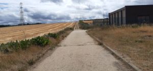
Exit onto Steppingley Road. Turn left to visit The Rufus Centre Café or to return to the start point via Ryder Way.
Factfile
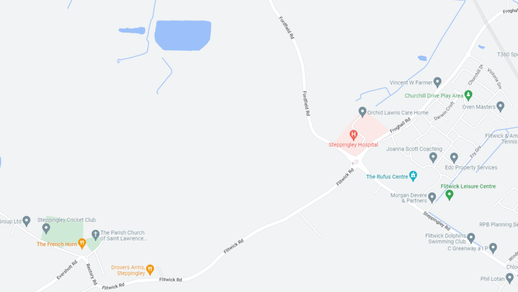
Map
Timing
Around 60-90 minutes.
Parking
Kerbside Parking in Churchill Drive (please park considerately)
Refreshments / toilets
The Rendezvous Café, The Rufus Centre, Steppingley Road, Flitwick.
Downloads
The walk description is available as a PDF – Discover – Flitwick to Steppingley