

The Green Belt explained
What does the term Green Belt mean, where can it be found in Bedfordshire, and what protections does it offer?
Green Belt is a defined area of countryside around a town or city which is protected from ‘inappropriate’ forms of development, as defined in government planning policy on Green Belts. Controls over new development, especially housing, are tighter than for most of the countryside. There are 14 Green Belts throughout the country, covering about 13% of England, which provide fresh air for around 30 million people. The trees, hedgerows and fields act as a carbon sink, can help reduce flooding and reduce the ‘heat island’ effect of towns and cities. Quality or appearance of land is not a factor when deciding whether to designate it as a Green Belt.
The five purposes of the Green Belt
- Check unrestricted sprawl of urban areas
- Prevent neighbouring towns from merging with each other
- Assist in safeguarding the countryside from encroachment
- Preserve the setting and special character of historic towns
- Assist in urban regeneration by encouraging the recycling of derelict and other urban land
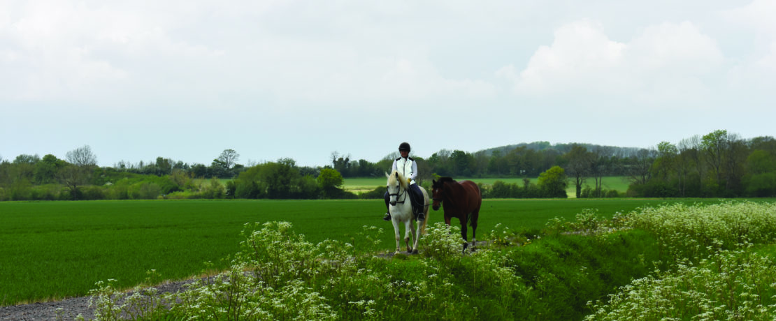
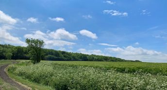
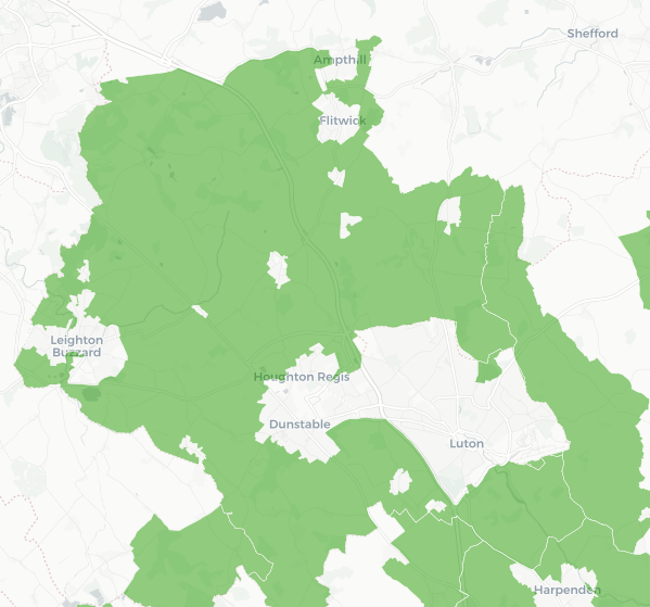
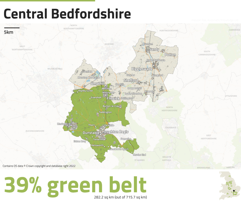
Green Belt in Bedfordshire
Bedfordshire’s only Green Belt land is on the northernmost edge of the London Metropolitan Green Belt. It provides Luton, Dunstable and Leighton Buzzard with Green Belt designated land.
A lot of countryside described by local people as Green Belt is not actually officially designated as such. Bedford, for example, has no Green Belt, but has a Green Wheel scheme which provides access to parks, countryside and other green spaces. This undesignated countryside often provides many of the same benefits for people and wildlife associated with Green Belt land. Undeveloped areas of land outside of Green Belt designation are often referred to as ‘greenfield’ sites. Brownfield land is defined as ‘previously developed land that’s no longer being used’.
The Green Belt, CPRE Bedfordshire and planning applications
When our team respond to planning applications one of the things we consider is whether a site is in the Green Belt or not.
A good example was the proposed Greenwoods New Town. CPRE Bedfordshire supported a local action group which was launched to help people respond to a proposed development near Wrest Park. The southern region of the site was in the Green Belt. The proposed development would have seen the loss of 72 ha, the site as a whole was 290 ha so Green Belt land accounted for about a quarter of the site. The proposed development represented encroachment into the Green Belt countryside and would have failed to preserve the setting and special character of the historic nature of the setting. This means that it was in conflict with the purposes of the Green Belt. There were no material considerations demonstrated that clearly outweighed the harm that would be caused to the Green Belt. The plans were rejected by Central Bedfordshire Council in March 2024.
London Green Belt Council
The local CPREs which have land included within this Green Belt belong to the London Green Belt Council. This is a grouping of over 100 organisations including councils, residents and environmental groups with a mutual concern for London’s Green Belt. The organisation shares knowledge and information on the threats and opportunities across London’s Green Belt, makes representations on relevant planning policies and lobbies and influences policy and decision makers. In partnership with LGBC the local CPREs produce a map of current threats to the Green Belt – proposals which will result in loss of Green Belt land. This is used to monitor irreversible loss of Green Belt land and amenities.