

Photo story: September 2024 floods
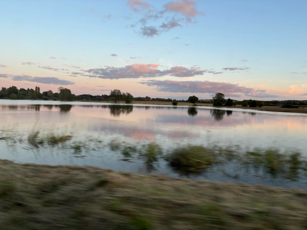
During September 2024 Bedfordshire found itself making headlines following heavy rainfall and flooding.
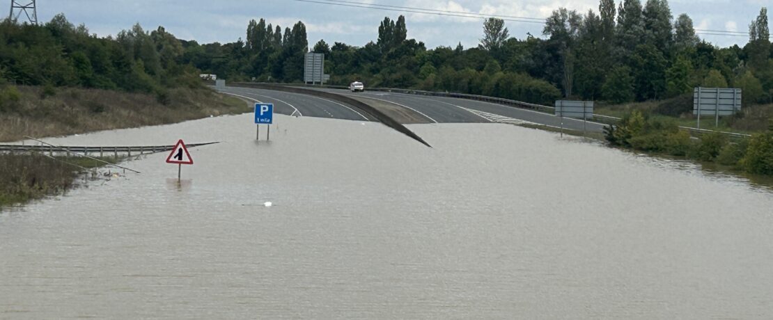
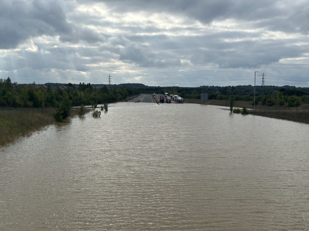
During the month, Woburn experienced more rain than its expected autumn average and had its wettest month on record since 1940. The closure of the A421 as it filled with an estimated 60 million litres of water provided dramatic pictures for the news and continues to cause problems for drivers.
A number of the Local Action Groups we work with have been in touch to share their photos and stories.
No to Greenwoods
The group coordinated and assisted with objections to the planning application for a new town of 4,000 houses between Barton, Silsoe and Gravenhurst, south of Wrest Park. It was rejected on a number of grounds which included some of the area being designated as flood zone 3, the highest risk level. They told us that in the last four years, the surrounding areas and the site itself has been flooded four times. Roads have been closed, vehicles and properties/businesses damaged.
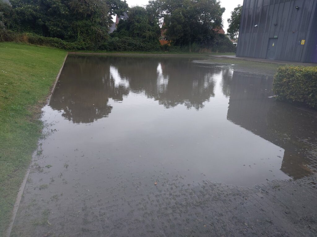
Save our Village Lower Stondon
The group are working to stop development on Mount Pleasant Golf Course. They shared some photos and captions with us.
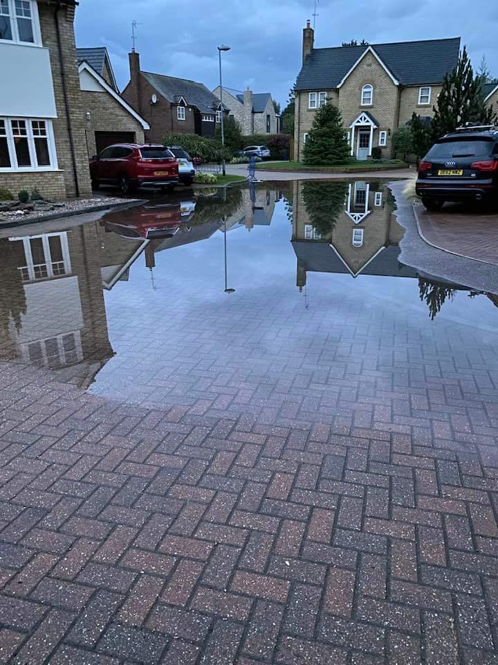
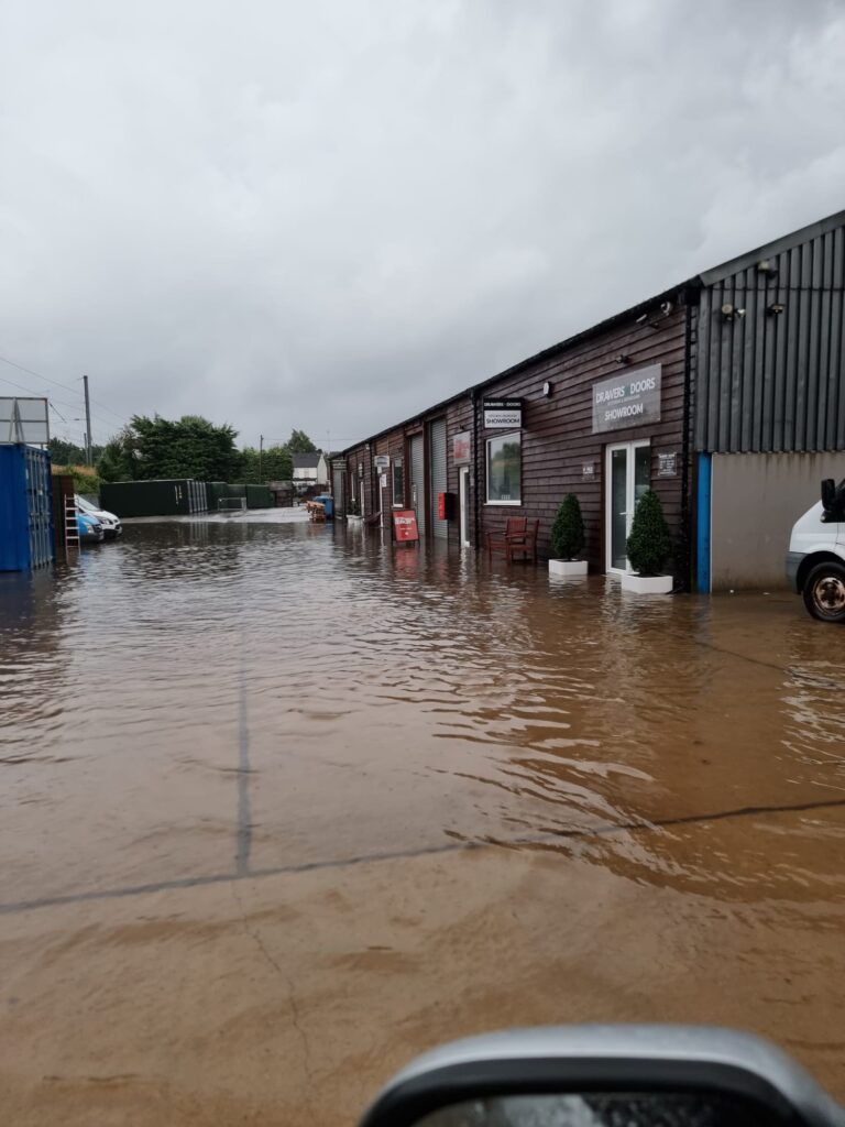
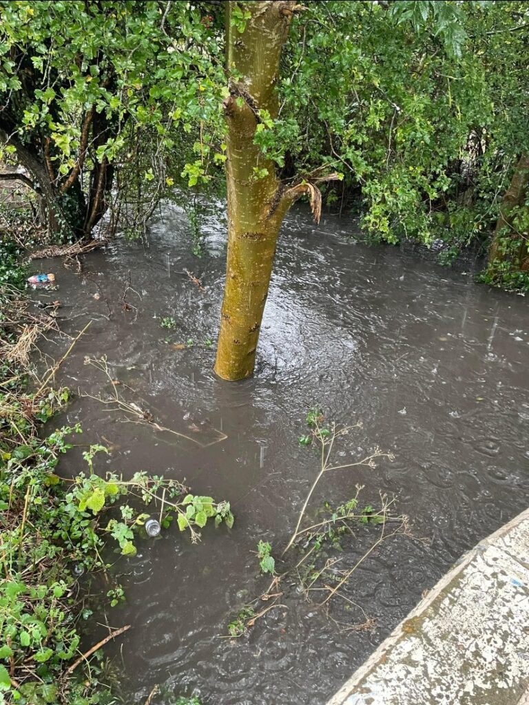
Friends of Windsor Drive (Houghton Regis)
The group is working to preserve much needed green space and recreation facilities in Houghton Regis. They shared pictures of Houghton Brook which runs alongside Windsor Drive Open Space, telling us that this level of water is despite enhanced flood defences only a few metres downstream. “Imagine what the area would look like without Windsor Drive Open Space?!”
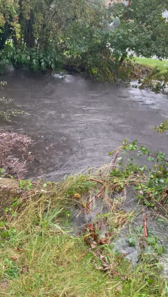
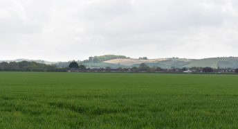
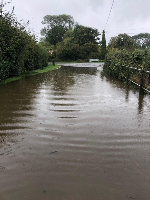
Save Steppingley Road Field (Flitwick Local Action Group)
A Local Action Group campaigning to save the field next to Flitwick Woods / Steppingley Road from development.
They shared photos from the Steppingley Road Culvert and both sides of it.