Environmental protections – what do they mean?
What do all those abbreviations mean? And what protection do they give to the local countryside? We take a closer look.
Green Belt
Green Belt is a defined area of countryside around a town or city which is protected from ‘inappropriate’ forms of development – as defined in government planning policy on Green Belts. There are Green Belts throughout the country, but not in every county. Green Belts aim to stop urban sprawl and the merging of settlements, preserve the character of historic towns and encourage development to take place within existing built-up areas. Quality or appearance of land is not a factor when deciding whether to designate it as a Green Belt.
- Bedfordshire’s only Green Belt designated land is on the northernmost edge of the London Metropolitan Green Belt. Explore the map here.
AONB
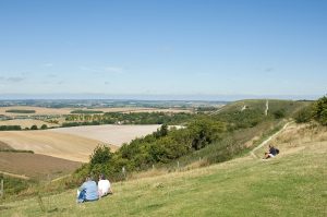
Areas of Outstanding Natural Beauty (AONBs) were brought into being by the same legislation as National Parks – the National Parks and Access to the Countryside Act of 1949. They are similarly prized landscapes, although generally smaller in scale. The primary objective of their designation is the conservation area’s natural beauty, although many of them also fulfil an important recreational purpose. Natural England is responsible for designating AONBs in England and advising Government on policies for their protection. There are 34 in all, covering about 15% of England.
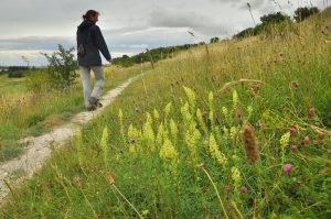
- The Chilterns AONB covers part of southern Bedfordshire, including the Dunstable Downs, find out more and explore the map here.
SSSI
A site of special scientific interest (SSSI) is identified by English Nature under section 28 of the Wildlife & Countryside Act 1981 as requiring protection from damaging development on account of its flora, fauna, geological and/or physiological features.
- Find the full list of sites in Bedfordshire here.
CWS
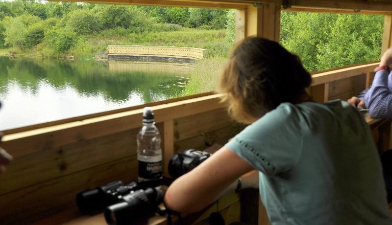
County Wildlife Sites (CWS) are areas of land important for their wildlife and they can be found on public and private land. CWS recognition is non-statutory, but is recognition of a site’s high value for biodiversity. The Wildlife Trust, Local Authorities and other organisations are working to protect and enhance such sites in co-operation with land owners and land managers. CWSs are found on public and private land, varying in size and shape from small meadows, green lanes, ponds and hedges through to much larger areas of ancient woodlands, species rich grassland, heathland and commons.
- Just over 400 sites in Bedfordshire have been recognized as County Wildlife Sites and these total roughly 8800 hectares in area. (About 7% of the county) Find out more here.
NNR
National Nature Reserves (NNRs) were established to protect some of our most important habitats, species and geology, and to provide ‘outdoor laboratories’ for research. Most NNRs offer great opportunities to schools, specialist interest groups and the public to experience wildlife at first hand and to learn more about nature conservation.
There are currently 224 NNRs in England with a total area of over 94,400 hectares – approximately 0.7% of the country’s land surface.
- NNRs in Bedfordshire include the Barton Hills, find out more here.
LNR
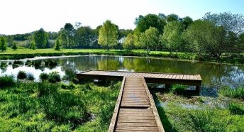
Local Nature Reserves (LNRs) are a statutory designation made under Section 21 of the National Parks and Access to the Countryside Act 1949 by principal local authorities. Parish and Town Councils can also declare LNRs but they must have the powers to do so delegated to them by a principal local authority. LNRs are for people and wildlife. They are places with wildlife or geological features that are of special interest locally. They offer people opportunities to study or learn about nature or simply to enjoy it.
- Find the full list of Bedfordshire LNRs here.